Know exactly where your land ends
Fully licensed surveying and mapping for VA, NC, TN
Call 276-733-4198More than a service — a part of the record
Blue Ridge Surveying & Mapping was formed in Hillsville in 2006. We are a team of surveyors and technicians licensed in Virginia, North Carolina and Tennessee, and the work runs from half-acre lots to 500-acre tracts.
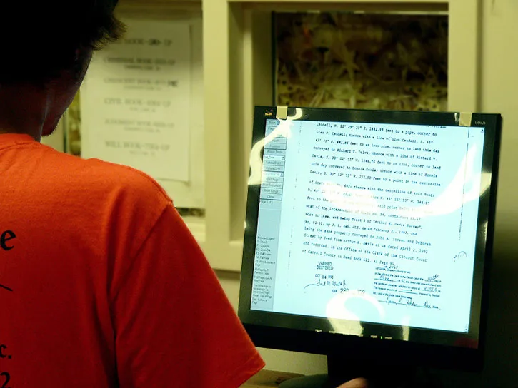
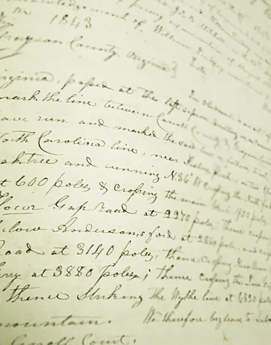
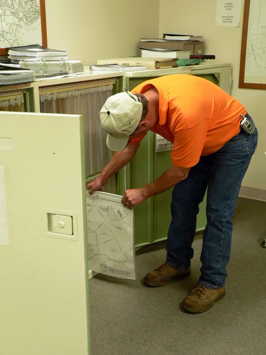
Researching the public records and performing the field survey are only part of the picture. We are keenly aware that what we produce is a permanent historical record, and our responsibility to it goes beyond the immediate job.
Our goal is that the signature of Brian L. Sutphin on a document will be synonymous with completeness and accuracy, and that a future researcher will see our work and say: “I’m glad this document is one of theirs.”
Surveying & Mapping Services
Whether you are verifying a boundary before installing a fence or developing a new resort, an accurate and complete survey is the foundation of your project.
Boundary Survey
Our most common survey, from half-acre lots to 500-acre tracts. We research the public records, recover lost boundary lines, mark the corners and draw the plat. Used for land transfers, timber harvesting, boundary disputes, accurate acreage for tax purposes, and placing fences, wells and septic systems.
Land Subdivision Survey
From the initial boundary survey to setting the final new corner, kept current with ever-changing subdivision ordinances. Used to convey a home site to family, divide property under a will, fix an encroachment with a lot-line revision, or develop part or all of a tract.
Topographical Mapping
Detailed contours at your specified interval, showing buildings, utilities, roads, drainage and vegetation. We use conventional instruments in dense woods, RTK GPS in open ground, and a local aerial mapping firm for sites too large for field work. The base for site, subdivision and road design, and for erosion and sediment control plans.
Construction Layout
Working from the engineering drawings, we stake out new roads, buildings and utilities on site so contractors build what was designed, where it was designed. For home and commercial construction, road work, and public water and sewer additions.
GPS Survey
GPS and GLONASS satellites give highly accurate positions and elevations over long distances. Used for aerial ground control, utility surveys, GIS mapping, state plane coordinates, and survey control on large boundaries, subdivisions and remote sites.
Erosion & Sediment Control Plan
Virginia requires one whenever more than 10,000 square feet of ground will be disturbed by construction other than farming and logging. We provide ground surveys for smaller sites and aerial mapping for larger ones, and work with local engineers on the design so residential, commercial and resort projects meet state standards.
Where the work takes us

What our customers say
Not only am I satisfied, but those whose property adjoins mine are all satisfied with the results as well.
Read full reviewShow less
I was very pleased and impressed with the professional attitude of all the crew members. Brian and his people did a terrific job especially considering they had so little to work with in my old deed. Not only am I satisfied, but those whose property adjoins mine are all satisfied with the results as well. I would highly recommend Blue Ridge for any surveying work that anyone needs done. In fact, I already have.
Mr. Clayton Hutchens
Private land owner, Spencer, VA
Brian is very conscientious, thorough and knowledgeable. He performed the survey services in a timely manner and within the time frame we required and at reasonable costs.
Read full reviewShow less
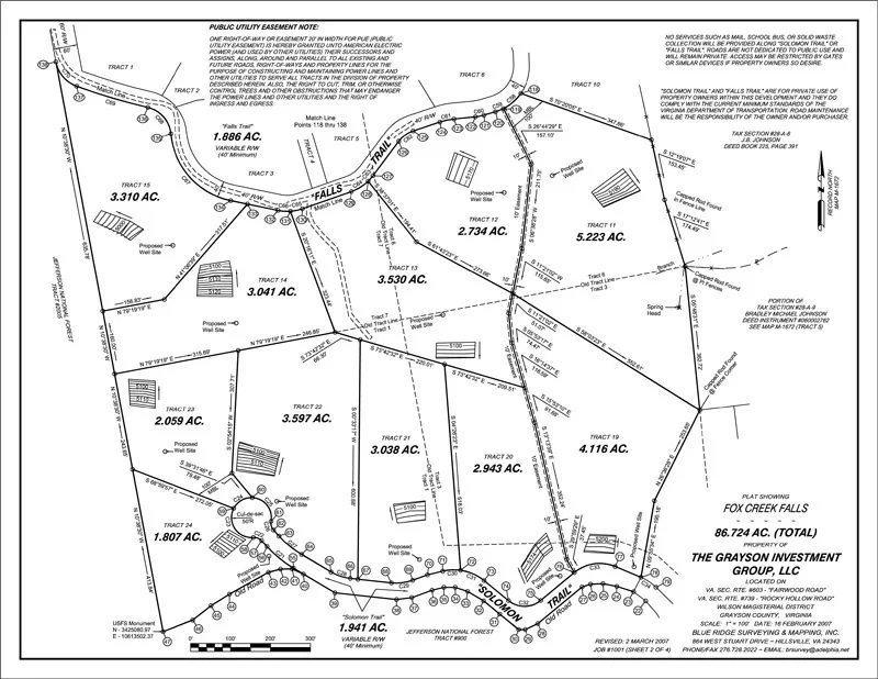
Brian did the lot survey for our development “Fox Creek Falls” in Grayson County VA, consisting of 24 lots on approximately 90 acres. He did the boundary, staked each lot corner and prepared the plats. They also assisted us with finding a qualified soil scientist to evaluate each lot for septic and wells and coordinated the final plat approval process with Grayson County. Brian is very conscientious, thorough and knowledgeable. He performed the survey services in a timely manner and within the time frame we required and at reasonable costs. We plan to use Brian on future projects and would recommend his services to others.
Recil H. Wright, PE
The Grayson Investment Group, LLC
They are eager to gain business but they make no false promises. What they say they will do, they do.
Ed Gallimore
McNeil Real Estate
As a realtor, it is a pleasure to refer a client to Blue Ridge Surveying. These guys do a good job, in a timely fashion, for a reasonable price. It makes us all look good.
Beth Riley
Riley and Associates Realty, Inc.
I would highly recommend Blue Ridge Surveying & Mapping for all surveying work needed, no matter how big or small the job.
Read full reviewShow less
I am a Professional Land Surveyor registered in North Carolina, and I have used Blue Ridge Surveying & Mapping on projects in Virginia and North Carolina. I have been extremely pleased with their professionalism and the timely manner in which they accomplished the surveys. I would highly recommend Blue Ridge Surveying & Mapping for all surveying work needed, no matter how big or small the job.
Lewis Cox
Lewis N Cox, PLS
It has always been completed on time and on budget (sometimes less than budgeted).
Read full reviewShow less
We have worked with Blue Ridge Mapping & Surveying on several occasions. We have enjoyed their professionalism in the way they complete their work and the fact that it has always been completed on time and on budget (sometimes less than budgeted).
Tom Richardson
Richardson General Contractors
Need a line settled, a lot divided, or a site mapped?
Call 276-733-4198Who you'll be working with

Brian Sutphin
Owner · Licensed Land Surveyor (VA, NC, TN)
Brian holds a Bachelor's degree in Surveying and Mapping Science from East Tennessee State University and an Associate in Applied Science in Civil Engineering Technology from Wytheville Community College. He founded Blue Ridge Surveying & Mapping in 2006 and specializes in GPS work.
Get In Touch
276-733-4198Visit Us
445 B W Stuart Dr.Hillsville, VA 24343
Hours
Monday - Friday: 7:30 AM - 5:00 PM