Why the Equipment Matters: Efficiency + Accuracy = Quality for Less
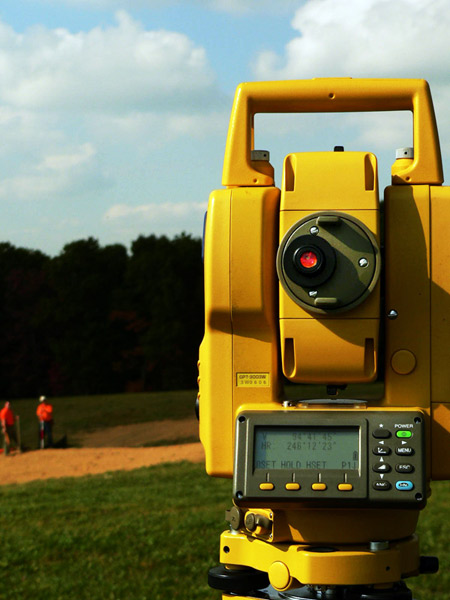
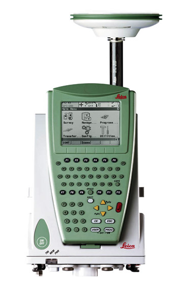
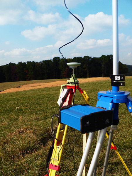
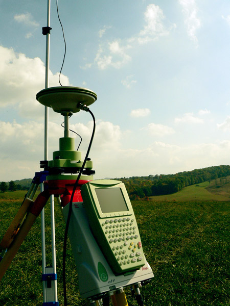
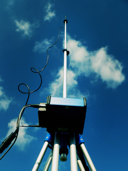
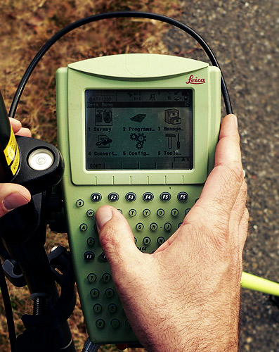
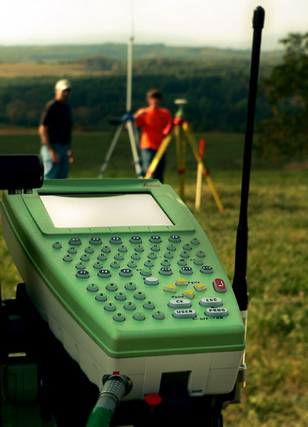
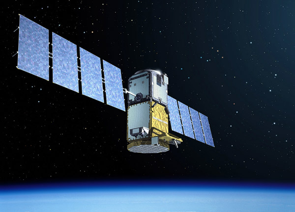
Blue Ridge Surveying & Mapping, Inc. uses state-of-the-art technology for optimum performance and accuracy. We also employ the GLONASS Satellite System for GPS surveying, gaining access to 63% more satellite locations than standard GPS systems. Combined with SmartTrack technology, these systems produce fast and accurate results in more difficult surveying terrain.
Licensed by the FCC to use a 25W radio base station, we maximize our surveying range from a single location. The result is less relocation and setup time, giving Blue Ridge Surveying & Mapping, Inc. greater efficiency and cost effectiveness.
All these features, together with over 100 years of combined surveying and CADD experience, add up to accurate results in less time. Less time means our customers save money without sacrificing quality.


 Services
Projects
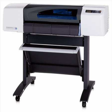
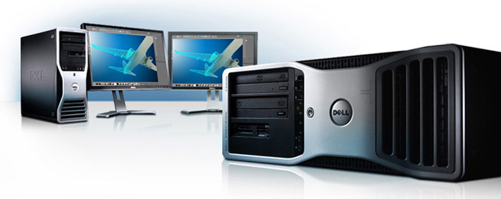
Equipment
Company
Contact
Gallery
Services
Projects
Equipment
Company
Contact
Gallery