More than a service, we're a part of history.
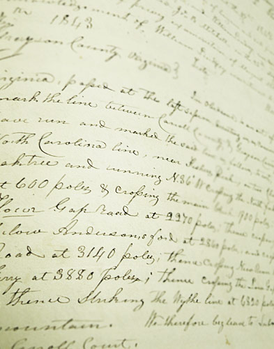
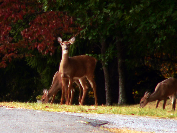
Surveying is more than just a service performed, it's a part of history in the making. The results of surveying become public records that will be used by generations to come. At Blue Ridge Surveying & Mapping, Inc., we are ever mindful of the part we play in the future. We also appreciate that our work often leads us to some beautiful and unique places. Take a few minutes to look at some of the places we’ve been and read about some things you may not have thought about when you think of the services of a surveyor.
- GPS Quality Control Surveying for the VGIN mapping project
- RTK GPS location survey of +/- 350 sanitary sewer manholes in Roanoke, VA
- Participation in the resurvey of the VA HARN with the National Geodetic Survey
- Locating and mapping the entire irrigation system for a private golf course
- Ground control surveys for Third Crossing Project in Newport News, VA for VDOT
- LiDAR mapping of Tyndall AFB, Hurlburt Field AFB, and Maxwell-Gunter AFB for the U.S. Government
- The National Oceanic and Atmospheric Administration's Coastal Mapping Program, Savannah, GA
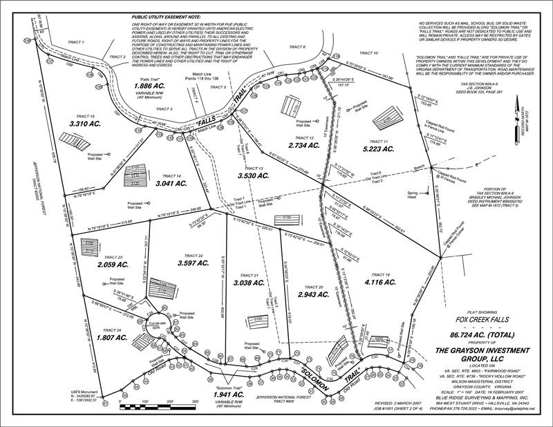
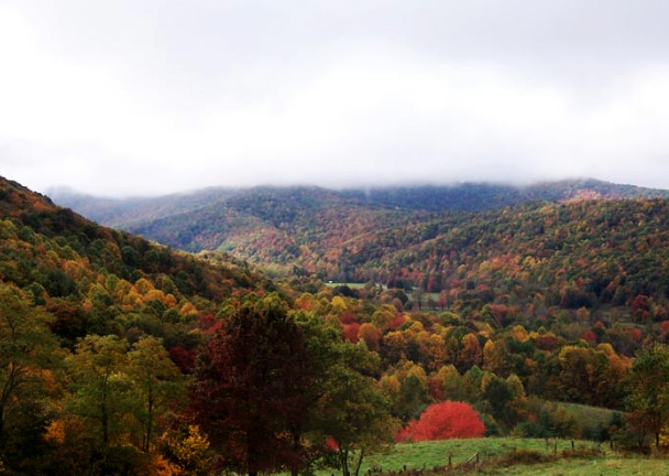
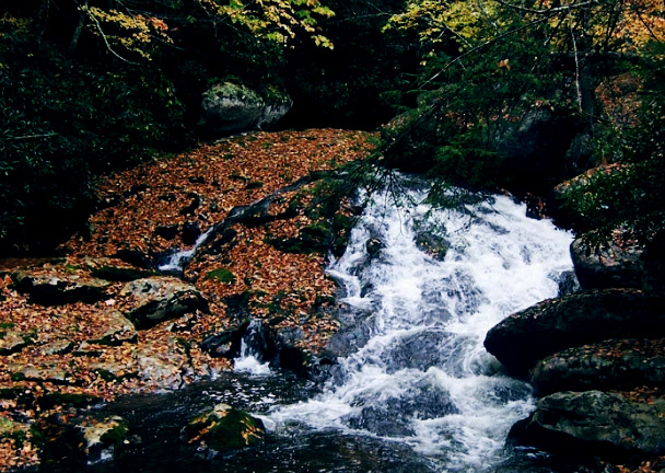
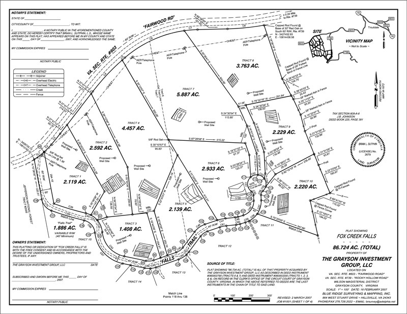
Fox Creek Falls December 2006 - February 2007
Grayson County, Virginia
{ Boundary, Land Subdivision, Topographic / Boundary plat, Subdivision plat }
82 acre Subdivision
To be developed as a Natural Element Home™ Signature Community
Blue Ridge Surveying conducted the initial boundary survey and performed a
Topographic Survey to locate drain fields. Working with the developer’s engineers, this information was used to create preliminary land subdivision plans. A soil scientist was retained to assist with locating septic and wells. Brian worked closely with the local planning department revising and adjusting as necessary to ensure the plan’s best chance of being passed by the planning commission on its first submission.
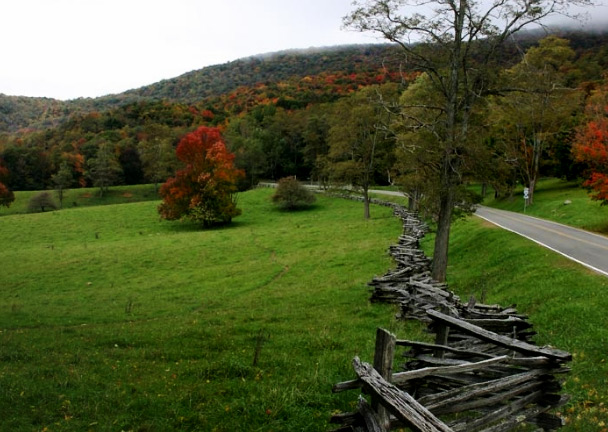
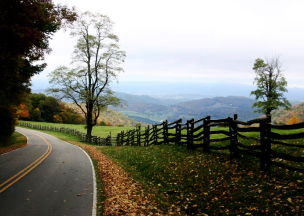
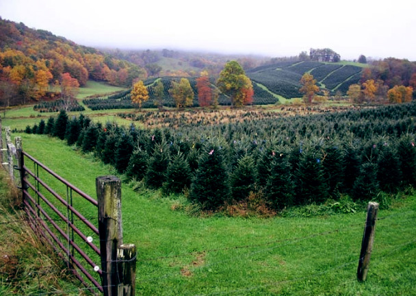
Close communication and attention to detail culminated in an approved plan whose results speak for themselves. Take a look at what’s been called “this slice of Paradise”.
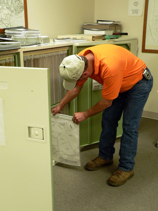
Landowner Private Survey June 2007 - July 2007
Pipers Gap, Virginia
{ Boundary / Boundary plat, Lot line plat }
44 acre Private Land Survey
Blue Ridge Surveying & Mapping’s experience and knowledge enables land owners who work with us to overcome unforeseen obstacles.
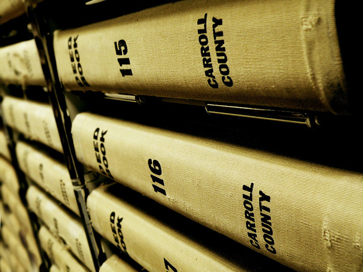
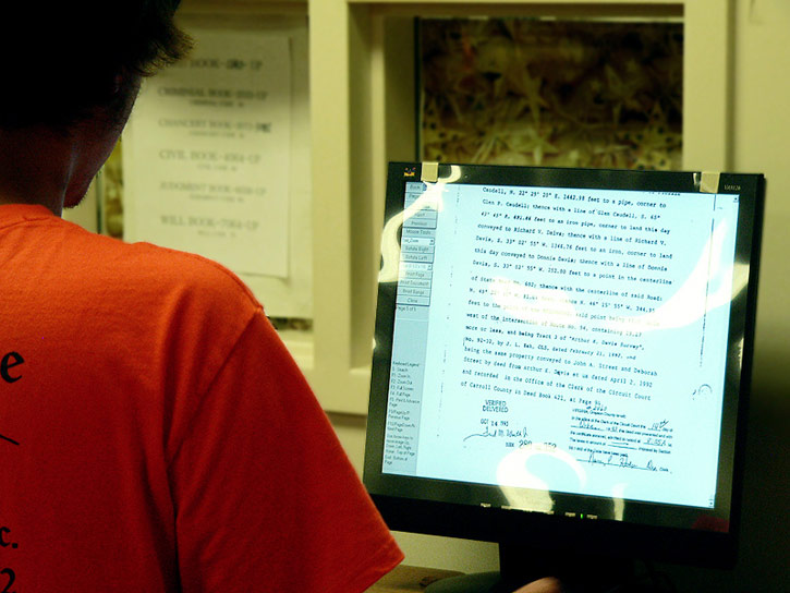
Comparing field data with their extensive deed research, Brian Sutphin discovered that property belonging to a landowner which extended across a state maintained road actually crossed the road and took in three-quarters of this property owner’s road frontage. Brian worked with both property owners to enable his client to purchase the necessary land, adding it to her tract and restoring road front access.
Another surprise surfaced when it was discovered that an adjacent land owner had inadvertently built part of a building on the client’s land. Again Brian worked with both owners and performed a lot line revision, adding a 50-foot swath to the building owner’s parcel, thereby easing the encroachment.
At the end of the day, everyone involved was satisfied and future generations would have access to correct information in the public records. Once again, Blue Ridge Surveying & Mapping, Inc.'s commitment to customer service and satisfaction motivates us to achieve the best results we can for all parties involved.


Topographical Mapping
This survey provides contours at a specified interval and location of planimetric features such as buildings, utilities, roads, drainage structures, and vegetation.
Click this link for more information.


 Services
Projects
Equipment
Company
Contact
Gallery
Services
Projects
Equipment
Company
Contact
Gallery